Water Quality Field Studies
Sediment Plume Monitoring
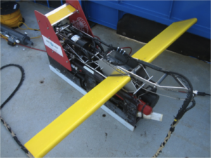
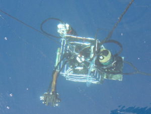
Dredge sediment plumes can be monitored using a variety of in-situ techniques depending on the client’s spatiotemporal requirements. Surface 2D plumes can be mapped using flow-through transmissometry or surface DALEC remote sensing reflectance measurements. 3D plume maps can be made with intensive vertical profiling at pre-defined locations, by undulating tow-bodys equipped with NTU sensors, or by multibeam acoustic soundings.
Often, this type of plume monitoring is required for Sediment Transport Model Validation, Light Availability studies or Remote Sensing Algorithm Development data collection.
Optical Water Quality Measurements
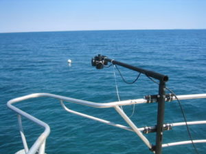
In-situ Marine Optics are experts in using the latest optical techniques to accurately measure a variety of water quality parameters including Total Suspended Solids, Chlorophyll-a and Dissolved Organic Carbon. Optical water quality proxies are rapid, non-destructive and allow a more comprehensive spatial understanding of oceanographic processes.
Benthic Light Availability
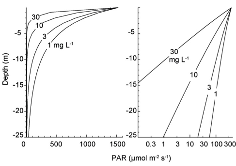
The depth of light penetration in the ocean is dependent on the substances present in the water column. In-situ Marine Optics are experts in measuring the underwater light field using our custom-built slow-descent platform and hyperspectral or IMO-PAR irradiance sensors. IMO can perform extensive field measurements in order to establish region-specific relationships between in-water consitituents and the benthic light availability. These relationships are useful for determining Dredge Impacts.
Remote Sensing Algorithm Development
In-situ Marine Optics began performing remote sensing algorithm development in 2007, and developed the world’s first integrated 3 channel hyperspectral radiometer specifically designed for the task. The DALEC has since been used to collect information to develop a number of algorithms which value-add to MODIS satellites imagery to produce Near-Real-Time Total Suspended Solids maps for our clients.